How do you plan your cycling itinerary?
A cycling trip can take many forms: a training session, a leisurely or sporty ride, a hike, an expedition, etc. bikepackingexpedition, a long trip, a ride through town, etc. In all cases, mapping out your itinerary in advance allows you to design the best route, optimize your timing and reduce the unknown - it's always more reassuring to have an idea of the terrain where you'll be putting your wheels down. Preparing your cycling itinerary is also a motivating step that nourishes your desire to ride.
Between paper maps and online planning tools for GPS computeronline planning tools, discover the various interesting ways to plan your ideal cycling route.
Why plan your cycling route?
Itinerary planning allows cyclists to set off on an unknown route with peace of mind, supported by a map and/or GPS. Planning helps to determine the distance to be covered, the terrain and the nature of the terrain. This data is useful for assessing the duration of your effort and estimating your arrival time.
Planning a road, gravel or mountain bike outing
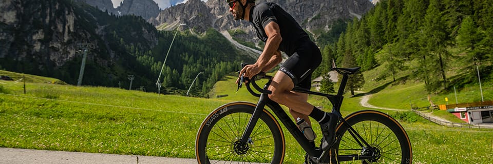
The passion of cyclists and mountain bikers often leads them to explore new regions on 2 wheels, whether on vacation or on a bike trip. Planning your itinerary is essential to finding your way around and getting the most out of your outing.
By planning your route in advance, you can choose the best playgrounds for your riding style. If you're a Gravel enthusiast will be looking for rolling white roads and forest trails. A mountain biker will seek out the region's popular singles and descents. Cyclists prefer roads with little traffic and varying degrees of relief.
Planning a leisure bike tour
When planning a leisure bike tour, the emphasis is on relaxation and discovery. You'll want to take advantage of peaceful cycling routes: cycle paths, greenways, towpaths and signposted hiking trails. It's an opportunity to share quiet moments on a bike, with family, friends or as a couple.
When planning your cycling itinerary, you can include a picnic break at a pleasant spot or a visit to a tourist attraction. Online route planners and cycling books list interesting stops along your route.
Plan a cycling trip
Setting off on a cycling adventure lasting a few days or several months requires comprehensive preparation. While the stages of the trip can be fine-tuned day by day according to conditions, it's important to study your route in advance. In particular, you need to anticipate the logistical issues surrounding supplies and accommodation. The length of the stages must be carefully calibrated, taking into account the altitude difference, the type of road and the weather.
Bicycle travelers will find useful information in books and on specialized websites, which describe the most popular signposted itineraries, such as the EuroVélo routes. The authentic adventurer, who sets off in total autonomy, finds maximum interest in building his itinerary from A to Z. They like to explore remote areas after plotting their route on a paper map or a GPS route planner.
Plan a velotaf itinerary
For a city bike tour, route planning is all about safety and optimizing travel time. The idea is to design an efficient route that favors safe bike lanes and avoids congested areas. On a velotaf route, you also avoid difficult climbs, so as not to put a strain on your physique before a day at the office.
Plan your cycling route on a road map
The paper map is the navigation tool of the travelling cyclist who wants to free himself from GPS tools. At the outset, it provides an overview of the region to be explored and enables you to map out your itinerary. The advantage of a paper map is that it leaves plenty of room for adventure, discovery and adaptation in the field.
Outline your route
Studying a paper map is a fundamental first step in preparing for a long hike or cycling trip. A topographical map allows you to immerse yourself in the region and project yourself directly into the adventure. It's up to you to sketch out an initial route and define essential stopping points. You can easily annotate the map, highlighting secondary roads and marking major routes to avoid.
Navigate in total freedom
A paper map gives you peace of mind and frees you from the constraints of GPS devices. With a map, battery failure or network loss are no longer obstacles to navigation. Maps can also be cumbersome, which is why their use is reserved for travel and bicycle touring. They are much less suited to road sports outings, MOUNTAIN BIKING or Gravel outings.
Plan your route with an online planner
Setting off on a cycling adventure with only a map is a real challenge, reserved for seasoned adventurers. For the rest of us, it's easy to start planning your route on a map, then map out the stages with an online planner. This type of tool provides you with more precise information on mileage and elevation gain, among other features. Publications featuring signposted itineraries are another good way to gain easy access to beautiful bike rides.
Plan your cycling itinerary with an online tool
There are many online sites and applications for mapping out your ideal cycling route. Once you've planned your outing, you'll get a track (GPX file) to load onto your GPS computer or use on your smartphone, via a GPS app. You're free to try out different tools and choose the planner best suited to your needs. Most bike route planning sites are free, but some have paid features...
Here's a selection of cycling route planners, with their specific features and benefits.
Komoot
With Komoot, you can create an optimized itinerary according to your level and type of cycling (bike touring, mountain biking, enduro biking, road biking, gravel biking). Once the route has been calculated, Komoot provides the profile of the outing, the altitude difference, the distance and an estimated duration. It also details the paths taken (path, track, street, road...) and the type of surface (asphalt, tarmac, gravel, unpaved...).
You can easily add waypoints to your route, directly on the base map. In particular, Komoot suggests "must-see" places to include on your route. These are natural or tourist sites, or nearby segments of the route, suggested by Komoot users. You'll have access to all the information you need to organize your cycling day (accommodation, restaurants, parks, campsites, public fountains, etc.).
Komoot's advantages for planning your outings, hikes and bike trips:
The paid version Komoot Premium goes even further, offering :
Strava
Strava is considered the number 1 cycling app, bringing together pros, cyclists and mountain bikers of all levels. It's designed as both a training tracking tool and a bike-specific social network.
Strava offers a "create a route" functionality that is only accessible via its paid subscription.
Before plotting the route, Strava lets you select the criteria that correspond to your riding style. The type of cycling is refined with the indication "prefer paved surfaces" (road cycling) or "prefer trails" (mountain biking). The "any surface" option is a good way of calculating a Gravel outing. You can also play with the profile of the course, seeking to "maximize the difference in altitude" or "limit the difference in altitude".
Plotting the outing is very easy, just add points to the base map. Strava suggests popular routes, giving priority to the most traveled roads and paths. This practical function allows you to choose the most popular, quietest stretches, and avoid difficult areas.
The advantages of Strava for tracking your cycling outings:
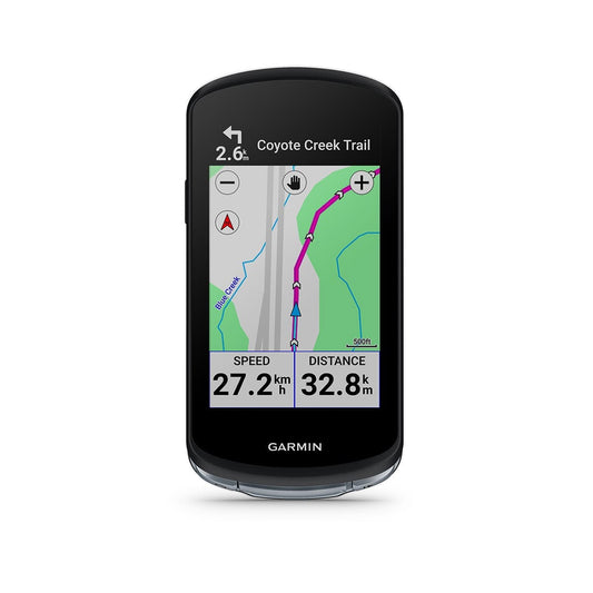
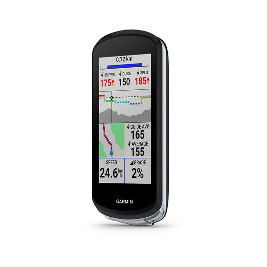
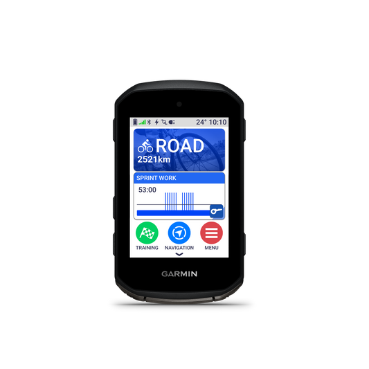
Garmin Connect
If you have a Garmin GPS computer, you can use the Garmin Connect tool, which includes a "course creation" portal.
This bike route planner is very easy to learn. All you have to do is enter your riding style (road, mountain or gravel bike) and choose between the automatic or customized planner. In automatic mode, Garmin Connect plots a route according to your indications (distance and direction). In custom mode, you plot your route by hand, point by point. You can view popular tracks saved on Garmin, so you can use the best areas.
You get essential information on distance and gradient, as well as an overview of the terrain. You can also enter waypoints to report any kind of information (water, food, out-of-category passes, etc.).
The advantages of Garmin Connect for creating a bike trip:
OpenRunner
OpenRunner is a popular bike route planner for road, gravel and mountain biking.
The free version lets you create your ride point by point, very easily. Once the route has been recorded, you'll be given all the important information: distance, altitude difference, elevation profile, type of track.
With the Explorer pack (paid subscription), you have access to IGN and Open Cycle Map backgrounds. OpenRunner Explorer also lets you place POIs (points of interest) on your route. These symbols are practical landmarks marking the location of a parking lot, a pass, a viewpoint, a restaurant, toilets...
Ride with GPS
Ride with GPS is another popular route-tracking tool among cyclists.
You plot your route by adding points on the map, and the elevation profile is generated live. You can work with different map backgrounds, such as Open Street Map and its bicycle variant Open Cycle Map. RWGPS provides information on road surfaces (paved, unpaved, unknown).
The Premium version (for a fee) adds a number of functions (thermal map, points of interest, route splitting, etc.).
Geovelo
We end our overview of bicycle route planners with Geovelo, an ideal tool for urban cyclists. Geovelo favors quiet bike lanes and provides useful information for cycling in the city (bike parking). You can also let us know if any streets are congested or under construction.
Google Maps
To be sure of where you're going, you can also use Google Maps. The satellite view lets you check the condition of a runway or road, and gives you a very concrete idea of the reality of the terrain. It may therefore be necessary to locate certain passages on this tool to finalize your route.
How do I load a GPX route onto a GPS bike?
You've finished tracing your bike route on your online planner. Now you just need to load the GPX file of your new route onto your GPS computer. This GPX file records the GPS coordinates of your outing. It will be read by your device on the day, which will guide you along the correct route.
The first method consists in dropping the GPX file from the route planner into your GPS computer's memory. It's easy to do on the PC: just plug in the GPS, open its file folders and paste the GPX track into the corresponding file ("NewFiles" folder on Garmin, "ExtraFiles" on Bryton). You'll find the new track in your GPS device.
The second way to load a GPX file onto your GPS is to send it to the application associated with your computer. The application will then synchronize your new GPX track with your GPS.
Some GPS units also allow you to directly synchronize your different accounts (route planner and GPS application). As soon as a new route is recorded on your planner (Komoot, Strava, Ride with GPS, OpenRunner...), you'll find it on your GPS computer.
Découvrez tous nos conseils & Tutoriels
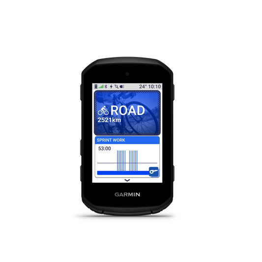
ACCESSORIES - Bike GPS
-
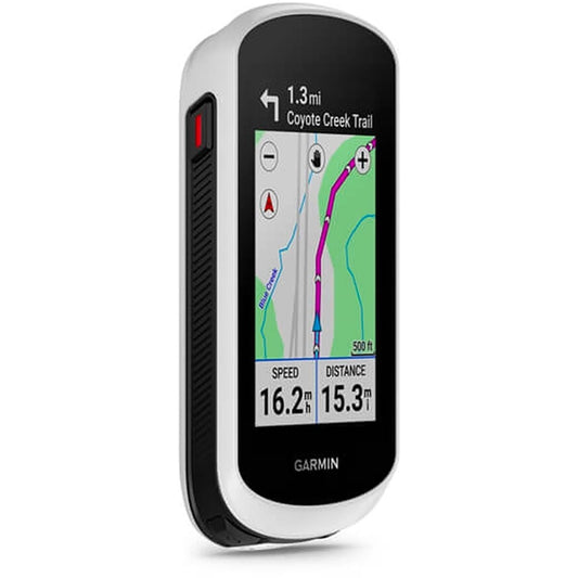
GARMIN EDGE 1040 GPS
Regular price 399,90 €Regular priceUnit price per -

GARMIN EDGE 850 GPS
Regular price 479,90 €Regular priceUnit price per -

GARMIN EDGE 550 GPS
Regular price 389,90 €Regular priceUnit price per -
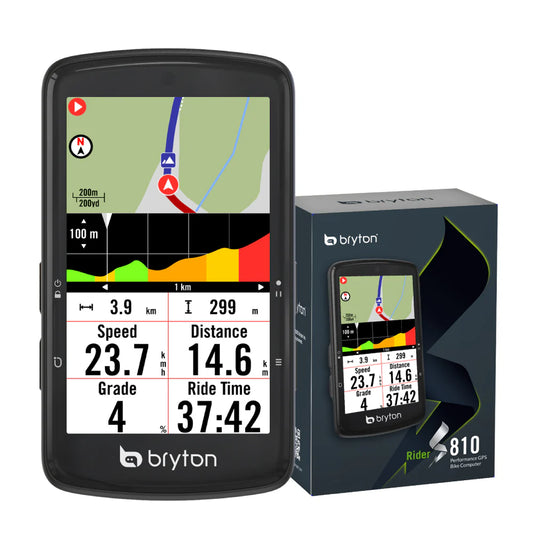
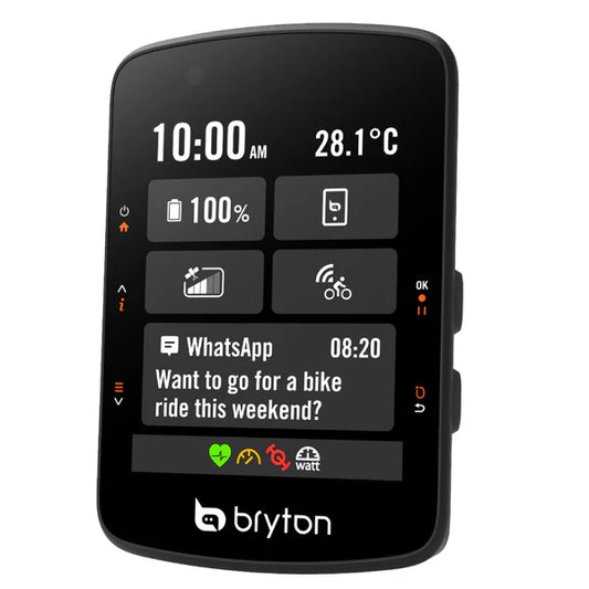
GPS BRYTON RIDER S810E
Regular price 269,90 €Regular priceUnit price per -
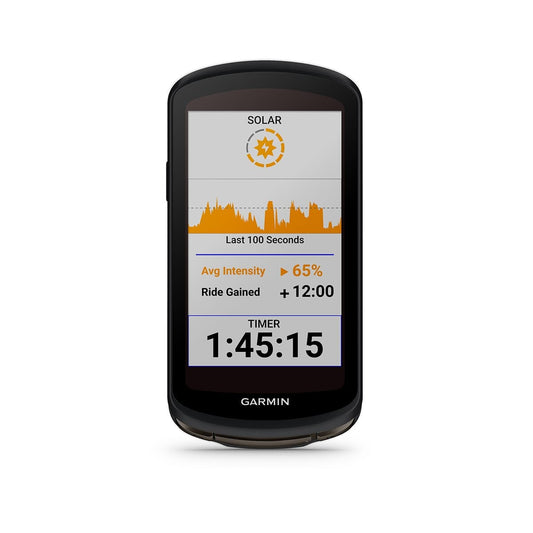
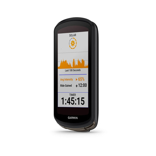
GARMIN EDGE 1040 SOLAR GPS
Regular price 599,90 €Regular priceUnit price per -
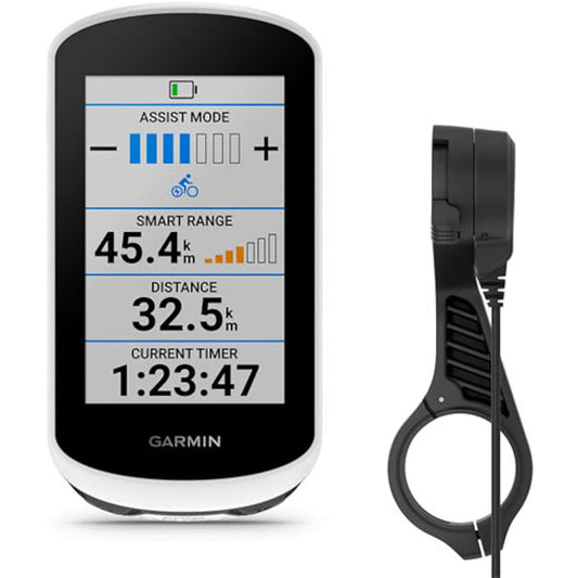
GARMIN EDGE EXPLORE 2 POWER GPS PACK with Powered Stand
Regular price 339,90 €Regular priceUnit price per -

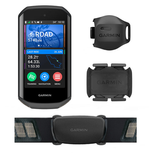
GPS GARMIN EDGE 1050 BUNDLE
Regular price 739,90 €Regular priceUnit price per -
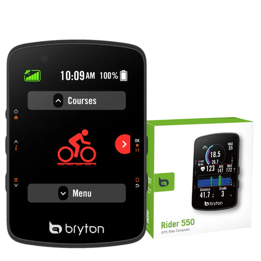
GPS BRYTON RIDER 550 E
Regular price 127,90 €Regular priceUnit price per


