


How do you plan your cycling route?
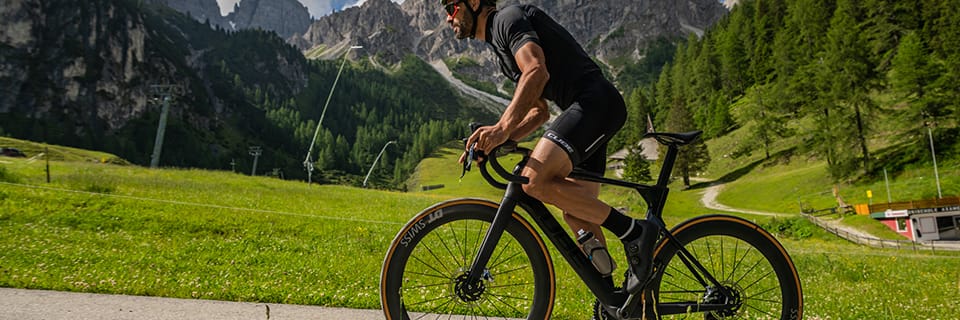
A cycling outing takes many forms: a training session, a leisurely or sporty ride, a touring ride, a bikepacking expedition, a long trip, a city commute, etc. In all cases, mapping your route in advance allows you to design the best course, optimise your timing and reduce the unknown — it is always reassuring to have an idea of the terrain where you will be riding. Preparing your cycling route is also a motivating step that fuels the desire to ride.
Between paper maps and online planning tools for GPS computers, discover the various useful methods for planning the ideal cycling route.
Why plan your cycling route?
Route planning allows the cyclist to set out confidently on an unfamiliar course, with a map and/or GPS support. Planning helps determine the distance to cover, the terrain profile and the nature of the surface. These are useful data points for gauging the duration of your effort and estimating your arrival time.
Planning a road, Gravel or MTB cycling ride
The passion of road cyclists and mountain bikers often leads them to explore new regions on two wheels, on holiday or during a bike trip. Plotting a route then becomes essential to find your way and make the most of your ride.
By planning your route in advance, you choose the best terrain for your riding style. A Gravel enthusiast will seek out rolling dirt tracks and forest trails. The mountain biker will seek out singletrack and popular descents in the area. The road cyclist will prefer quiet roads with more or less elevation.
Planning a leisure cycling ride
For a leisure cycling ride, the outing is oriented towards relaxation and discovery. Priority is given to peaceful cycle routes: dedicated cycle paths, greenways, towpaths and waymarked touring trails. It is the perfect opportunity to share quiet moments on a bike, with family, as a couple or with friends.
When planning your cycling route, you can build in a picnic break at a pleasant spot or a visit to a tourist attraction. Online route planners and cycling touring guidebooks list interesting stops along your route.
Planning a cycling trip
Setting off on a cycling adventure lasting a few days or several months requires thorough preparation. Even if the stages of the journey are refined day by day depending on conditions, it is important to study your route in advance. In particular, you need to anticipate logistical questions around supplies and accommodation, and carefully calibrate the length of each stage taking into account elevation, road type and weather.
Cycling travellers find useful information in books and on specialist websites, which describe the most popular waymarked routes, such as EuroVelo routes. The true adventurer, who sets off in complete autonomy, finds maximum satisfaction in building their route from A to Z. They enjoy exploring a remote region after having plotted their course on a paper map or on a GPS route planner.
Planning a commuting route
In the context of urban cycling, route planning focuses on safety and journey time optimisation. The idea is to design an efficient route that prioritises safe cycle lanes and avoids congested areas. On a commuting ride, you also avoid steep climbs so as not to exhaust yourself before a day at the office.
Planning your cycling route on a road map
The paper map is the navigation tool of choice for the travelling cyclist who wants to free themselves from GPS devices. At the outset, it offers a broad overview of the region to explore and allows you to map out the main lines of your route. The paper map has the advantage of leaving full room for adventure, discovery and on-the-ground adaptation.
Mapping out the main lines of your route
Studying a paper map is a fundamental first step in preparing for a long cycling tour or bike trip. The topographic map allows you to immerse yourself in the region and picture yourself directly in the adventure. Feel free to sketch out an initial direction and identify key stopping points. You can easily annotate the map, highlight secondary roads and mark the main roads to avoid.
Navigating in complete freedom
The paper map offers reassurance and freedom from the constraints of GPS devices. With a map, a flat battery or loss of signal are no longer obstacles to navigation. Maps can also be bulky, which is why their use is best suited to cycling travel and touring. They are far less suited to sporting rides on the road, MTB or Gravel.
Refining the route with an online planner
Setting off on a cycling adventure with just a map is a real challenge, reserved for seasoned explorers. For everyone else, you can perfectly well start planning your route on a map, then plot the stages using an online planner. This type of tool provides more precise information on mileage and elevation, among other features. Publications featuring waymarked routes are another great solution for easy access to beautiful cycling tours.
Planning your cycling route with an online tool
There are many websites and online apps for mapping your ideal cycling route. Once you have planned your ride, you retrieve a track (GPX file) to load onto your GPS computer or use on your smartphone via a GPS app. Feel free to try out different tools and choose the planner best suited to your riding style. Most cycling route planning websites are free, but some have paid features.
Here is a selection of cycling route planners, with their specific features and advantages.
Komoot
With Komoot, it is possible to create an optimised route based on your level and type of riding (leisure cycling, MTB, Enduro MTB, road cycling, Gravel bike). Once the route is calculated, Komoot provides the ride profile, elevation gain, distance and an estimated duration. It also details the paths used (trail, track, street, road…) and the surface type (asphalt, tarmac, gravel, unpaved…).
You can easily add waypoints to your route directly on the base map. Komoot notably suggests "must-see" places to include on your route. These are natural or tourist sites, or nearby route segments, added by Komoot users. You have access to a wealth of information to organise your cycling day (accommodation, food, parks, campsites, public fountains…).
The advantages of Komoot for planning your cycling rides, tours and trips:
The paid Komoot Premium version goes further by offering:
Strava
Strava is considered the number one cycling app, bringing together professionals, recreational cyclists and mountain bikers of all levels. It is designed both as a training tracking tool and as a dedicated cycling social network.
Strava offers a "create a route" feature accessible exclusively via its paid subscription.
Before mapping the route, Strava invites you to choose the criteria that match your riding style. The type of cycling can be refined with the option "favour paved surfaces" (road cycling) or "favour tracks" (MTB). The option "any surface" is a good solution for planning a Gravel ride. You can also influence the route profile by choosing to "maximise elevation" or "minimise elevation".
Mapping the ride is very straightforward — simply add points on the base map. Strava suggests popular routes, favouring the most frequently used roads and tracks. This handy feature lets you choose the most popular and peaceful sections, and avoid difficult areas.
The advantages of Strava for mapping your cycling rides:
Garmin Connect
If you own a Garmin GPS computer, you can use the Garmin Connect tool, which includes a "route creation" portal.
This cycling route planner is very easy to get to grips with. Simply enter your riding style (road cycling, MTB, Gravel bike) and choose between the automatic or custom planner. In automatic mode, Garmin Connect plots a route based on your inputs (distance and direction). In custom mode, you trace your route by hand, point by point. You can display popular tracks recorded on Garmin to follow the best sections.
You have access to essential information on the distance and elevation of the route, as well as an overview of the terrain. You can also add waypoints to flag all kinds of information (water, food, categorised climb…).
The advantages of Garmin Connect for creating a cycling ride:
OpenRunner
OpenRunner is a highly popular cycling route planner for road cycling, Gravel and MTB.
The free version lets you create your ride point by point, very easily. Once the route is saved, you are given the key information: distance, elevation, altitude profile and road type.
With the Explorer pack (paid subscription), you have access to IGN and Open Cycle Map base maps. OpenRunner Explorer also lets you place POIs (points of interest) on your route. These symbols are useful landmarks marking the location of a car park, a mountain pass, a viewpoint, a restaurant, toilets…
Ride with GPS
Ride with GPS is another very popular route mapping tool among cyclists.
You trace your route by adding points on the map, and the altitude profile is generated in real time. You can work with different base maps, such as Open Street Map and its cycling variant Open Cycle Map. RWGPS displays the road surface (paved, unpaved, unknown).
The Premium version (paid) adds several features (heatmap, points of interest, split route…).
Geovelo
We wrap up our overview of cycling route planners with Geovelo, an ideal tool for urban cyclists. Geovelo favours quiet cycle paths and provides useful information for urban cycling (bike parking). You can also report whether streets are congested or under construction.
Google Maps
To be sure about the places you will be passing through, you can also turn to Google Maps. The satellite view lets you check the condition of a track or road and get a very concrete sense of the real terrain. It may therefore be necessary to scout certain sections using this tool to finalise your route.
How do you load a GPX route onto a cycling GPS?
You have finished mapping your cycling route on your online planner. You now need to load the GPX file of your new route onto your GPS computer. This GPX file records the GPS coordinates of your ride. It will be read by your device on the day, guiding you to follow the right path.
The first method involves transferring the GPX file from the route planner to your GPS computer's memory. The process on a PC is very simple: just plug in the GPS, open its file folders and paste the GPX track into the corresponding folder ("NewFiles" on Garmin, "ExtraFiles" on Bryton). You will then find the new route on your GPS device.
The second solution for loading a GPX file onto your GPS is to send the file to the app associated with your computer. The app then synchronises your new GPX track to your GPS.
Some GPS devices also allow you to synchronise your various accounts (route planner and GPS app) directly. As soon as a new route is saved on your planner (Komoot, Strava, Ride with GPS, OpenRunner…), it appears on your GPS computer.
Découvrez tous nos conseils & Tutoriels
ACCESSORIES - Bike GPS
-
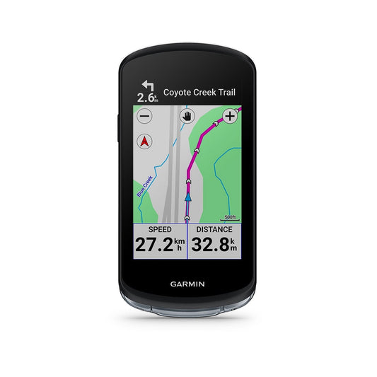
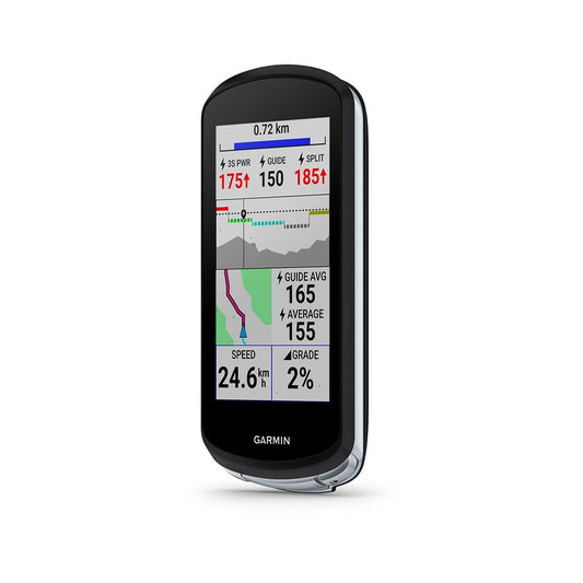
GPS GARMIN EDGE 1040
Regular price 449,90 €Regular priceUnit price per -

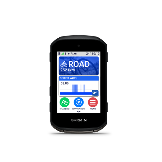
GPS GARMIN EDGE 850
Regular price 479,90 €Regular priceUnit price per -

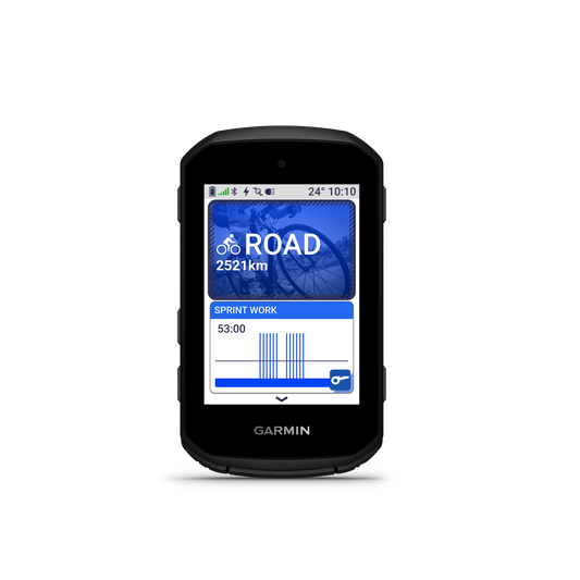
GARMIN EDGE 550 GPS
Regular price 389,90 €Regular priceUnit price per -
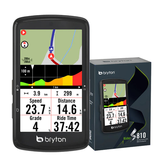
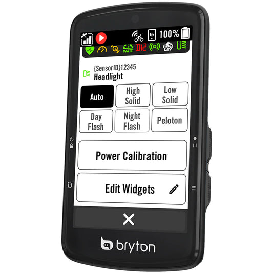
BRYTON RIDER S810E GPS
Regular price 269,90 €Regular priceUnit price per -
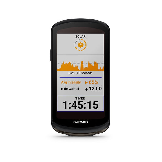
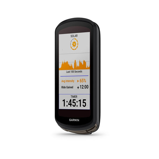
GPS GARMIN EDGE 1040 SOLAR
Regular price 569,90 €Regular priceUnit price per -
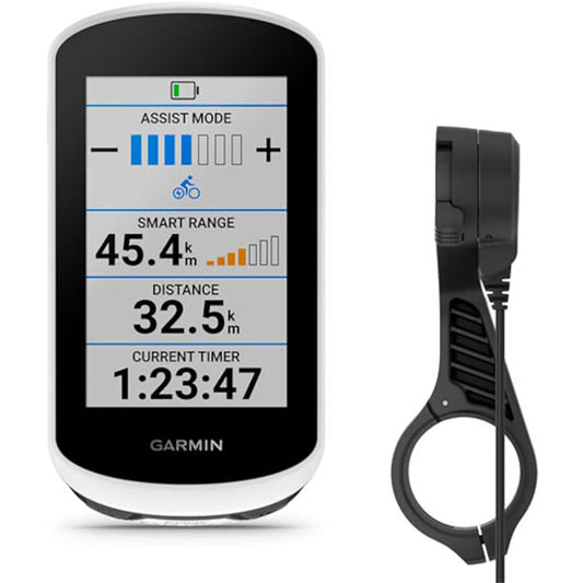
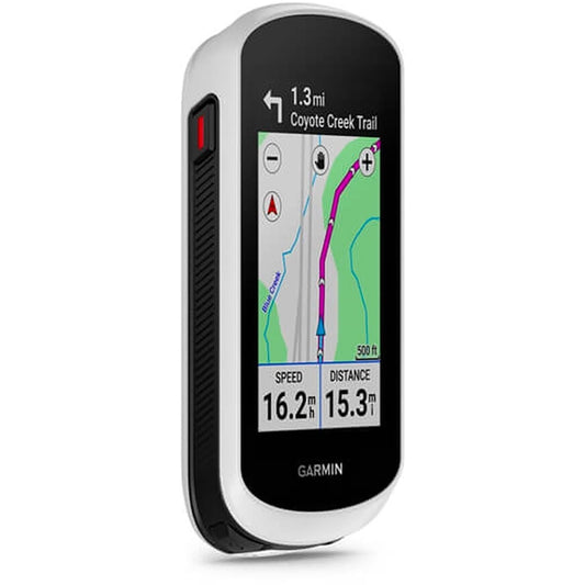
GARMIN EDGE EXPLORE 2 POWER GPS PACK with Powered Mount
Regular price 339,90 €Regular priceUnit price per -

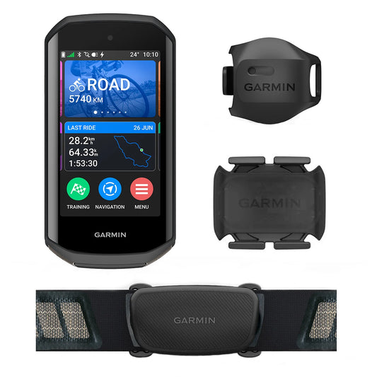
GPS GARMIN EDGE 1050 BUNDLE
Regular price 739,90 €Regular priceUnit price per -
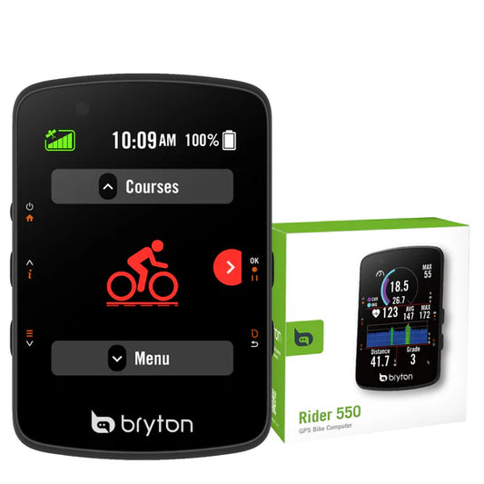
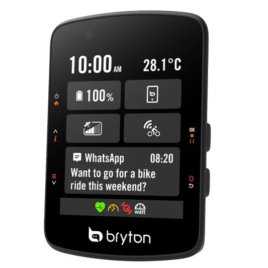
GPS BRYTON RIDER 550 E
Regular price 127,90 €Regular priceUnit price per


